Qonnected TMS
Go livePricing
Sign in
Free trial
Book a demo
Qonnected TMS

The connected transport platform for carrier operations.

For Carriers

  • Carrier TMS
  • Dispatch
  • Billing
  • Payroll
  • Safety
  • Fleet Management
  • Fuel & tolls
  • Navigation
  • Maintenance
  • EDI

Platform

  • AI Agents
  • AI Automations
  • Rate Matrix
  • Loadboard
  • Navigation App
  • Customer Portal
  • Integrations
  • Migration

Company

  • About
  • Blog
  • Contact
  • Pricing
  • Book a demo

Contact

·

Offices

Head office
Qonnected Logistics B.V.Stationsplein 45 Unit A4.0043013 AK RotterdamThe NetherlandsKvK 96533188+31 10 710 61 12info@qonnected-logistics.com
Germany
Kaiserswerther Straße 21540474 DüsseldorfGermany
© 2026 Qonnected Logistics B.V.·Terms·Privacy
Built for European road transport
Commercial Truck Navigation

Commercial truck navigation that routes every truck around the low bridge.

One wrong turn under a low bridge ends the load. QTMS truck-safe routing knows your height, weight, and cargo, plans around the drivers-hours clock, and optimizes fuel across the whole fleet.

Truck-Safe RoutingDrivers-Hours Compliant PlanningReal-Time Fleet VisibilityFuel Optimization
Book a demoSee Driver App

Route Board

RTM to EIN to BRU · Load 40821

Live
A
Rotterdam, NLPickup 06:30
290 km2h 45m
B
Eindhoven, NLStop 290 km
467 km4h 20m
C
Brussels, BEDelivery 18:45

Low bridge rerouted automatically

A2 S at exit 17. Clearance 4.1 m, truck height 4.2 m. Rerouted via N2 S, +6 km.
Driving time7h 12m remaining
Break atBreda, NL

Route cleared

ETA 18:45 on schedule

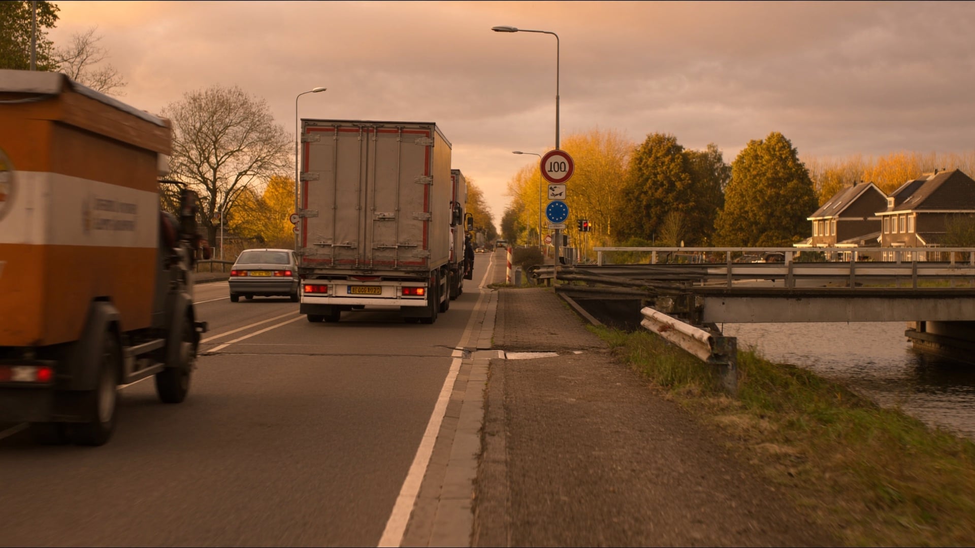
A low-clearance overpass bridge on a motorway with warning signs

The bridge that ended the load was on Google Maps too.

Consumer GPS has no idea your truck stands 4.2 m tall.

Why commercial navigation

Consumer GPS routes trucks under bridges.

Google Maps, Waze, and Apple Maps are designed for passenger vehicles. They have no awareness of truck height, weight, length, axle count, or cargo type. When a driver follows consumer GPS, they risk low-bridge strikes, weight-restricted road violations, and routes through residential no-truck zones.

Commercial truck navigation uses specialized map data updated weekly that includes every low bridge clearance, weight-limited road, tunnel restriction, and no-truck zone across Europe. Routes are calculated against your specific vehicle profile, not a passenger car.

QTMS Navigation goes further: it integrates with your tachograph for real-time drivers-hours awareness, optimizes routes across your entire fleet, and routes drivers to the most cost-effective fuel stops along their path.

The cost of the wrong route

Consumer GPS costs fleets real money.

Consumer GPS sends trucks under low bridges

Google Maps and Waze have no knowledge of truck height, weight, or cargo type. Every wrong route risks a bridge strike, an enforcement fine, or a written-off trailer, and the costs compound fast.

Trailer, fine, downtime

Fuel wasted on unoptimized routing

Without fleet-wide optimization each driver picks their own route. The result is unnecessary empty running, missed fuel discounts, and excess diesel spend that adds up monthly across every truck.

Uncoordinated fuel stops

Drivers-hours breaches from impossible ETAs

Routes planned without drivers-hours awareness set drivers up to fail. They breach hours to make a delivery or miss the appointment window. Either way, it costs money and puts compliance at risk.

Five-figure tachograph fines

How it works

From vehicle profile to live fleet monitoring.

01

Enter vehicle profile

Set height, weight, length, axle count, and cargo type once. That profile travels with every route calculation the system runs for that vehicle.

02

Plan a truck-safe route

The system calculates the optimal path using commercial vehicle map data. Every low bridge, weight-restricted road, and no-truck zone is factored in before the driver starts.

03

Sync drivers hours from the tachograph

Remaining drive time is pulled from the driver tachograph in real time. Mandatory breaks, daily driving limits, and weekly cycles are built into the route plan automatically.

04

Monitor the fleet live

Dispatchers see every truck on one dashboard with real-time progress, ETA updates, and automatic alerts for route deviations, delays, or drivers-hours warnings.

Capabilities

Navigation built for fleet managers, not commuters.

Four layers of intelligence that consumer GPS cannot replicate.

Truck-safe routing

Every route is built from commercial vehicle map data updated weekly. Height, weight, length, axle count, and ADR class are applied at every turn. Low bridges, restricted tunnels, weight-limited roads, and no-truck zones are avoided before the driver ever touches the wheel.

Low bridge rerouted automatically
  • Vehicle profile applied to every route calculation
  • Bridge clearance, weight, and ADR restrictions enforced
  • Commercial map data updated weekly across Europe

Drivers-hours compliant planning

Route plans account for the driving and rest time rules in Regulation (EC) No 561/2006. Remaining drive time is pulled from your tachograph in real time, and suggested routes include mandatory breaks, daily limits, and weekly cycles.

Driving time7h 12m remaining
Break at Breda, NL
  • Tachograph-synced remaining drive time, not estimates
  • Mandatory 45-minute breaks and rest stops scheduled
  • Daily and weekly drivers-hours awareness on every route

Real-time fleet visibility

Dispatchers see every truck on one dashboard with live position, route progress, and ETA updates. Automatic alerts fire when a driver deviates from route, falls behind schedule, or approaches a drivers-hours warning before customers notice.

Route BoardLive
NL-42-BXRPickup
BE-19-KTMStop
DE-07-VNLDelivery
  • Live map with all active trucks and route overlays
  • ETA updates with automatic delay alerts
  • Historical route performance analytics per driver

Fuel stop optimization

The system routes drivers to the cheapest fuel stops along their path based on price, network discounts, and location, without adding significant kilometres. Fleet-wide multi-stop sequencing reduces total empty running beyond what any individual driver can optimize alone.

⛽
Fuel Optimization
Venlo, NL
Köln, DE
Liège, BE
  • Price-optimized fuel stops along the route
  • Network discount integration for fuel card savings
  • Fleet-wide multi-stop sequencing to reduce empty running
A dispatcher reviews a live fleet board showing all active trucks at night

One view. Every truck. Right now.

Dispatchers see live position, ETA, and drivers-hours status for the whole fleet without making a call.

For drivers

Looking for the driver-facing navigation app?

Turn-by-turn truck-safe directions, fuel stop optimization, weigh station alerts, and offline maps.

See Driver App

Ecosystem

Part of QTMS Carrier TMS

Navigation works hand in hand with every other product in the platform.

Dispatch & Tracking

Truck dispatch software with AI-assisted load entry, driver suggestions, routing, and GPS tracking

Billing & Invoicing

Freight billing software with AI invoicing, factoring, and revenue tracking

Driver Payroll

Road transport payroll software with driver settlements and payment batch exports

Safety & Compliance

EU road-transport compliance with tachograph monitoring and coaching alerts

Fleet Management

Fleet management software with maintenance, fuel tracking, and toll reporting

Driver App

Truck driver app for loads, documents, pay stubs, and safety scores

EDI Integration

Carrier EDI integration with automated load tendering, status updates, and invoicing

Navigation
You're here

Fleet route optimization with truck-safe routing, fuel savings, and EU driving-time compliance

Profit Engine

Fleet profitability software with per-load P&L, lane analysis, and margin tracking

Rate Matrix

Freight quoting software with lane rate analysis and fuel surcharge calculations

Explore full suite

FAQ

Commercial truck navigation FAQ

Everything fleet managers need to know about truck-safe GPS routing.
QTMS Navigation gives fleet managers a single dashboard to monitor every truck route, ETA, and fuel stops in real time. Instead of managing navigation truck-by-truck, dispatchers get fleet-wide route optimization that reduces total empty running, enforces truck-safe routes, and sends alerts before customers notice a delay.
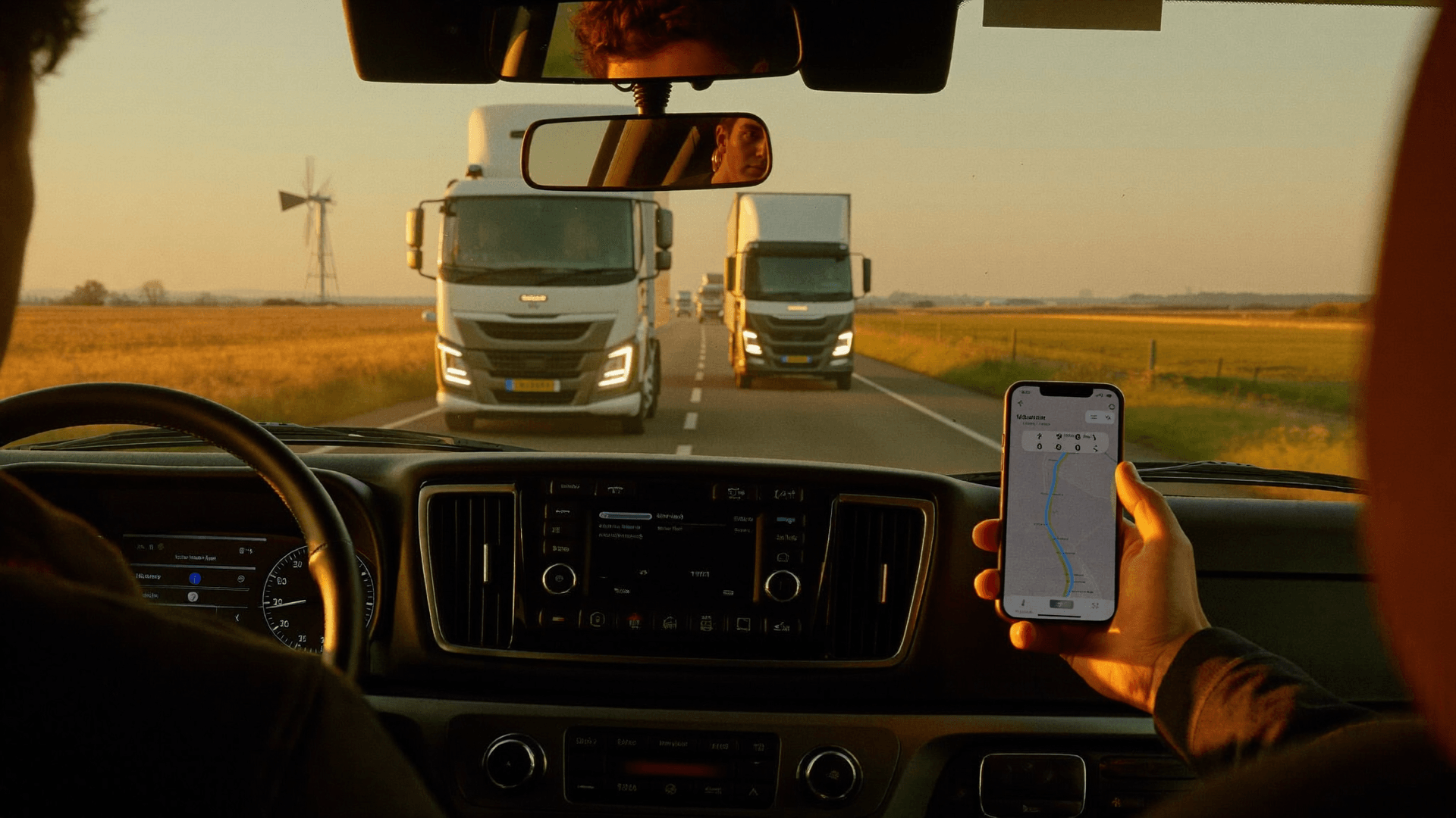
A driver in the cab at dawn, calm, with the route already planned before turning the key

The route is clear before he turns the key.

Truck-safe, drivers-hours-aware, and fuel-optimized, so the driver just drives and the load arrives on time.

Get started

See Fleet Navigation
in action

Truck-safe routing. Drivers-hours-compliant ETAs. Fuel optimization across the entire fleet.

Fuel-aware route review
Truck-safe routing
Drivers-hours-compliant ETAs
Book a demo

Or See Driver App

Trusted by carriers across Europe
SOC 2 assessment in progress